Here’s where the Mosquito Fire is burning in Northern California national forest
READ MORE
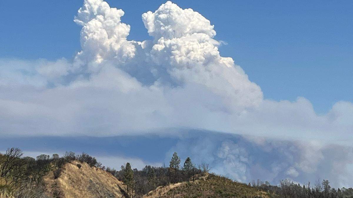
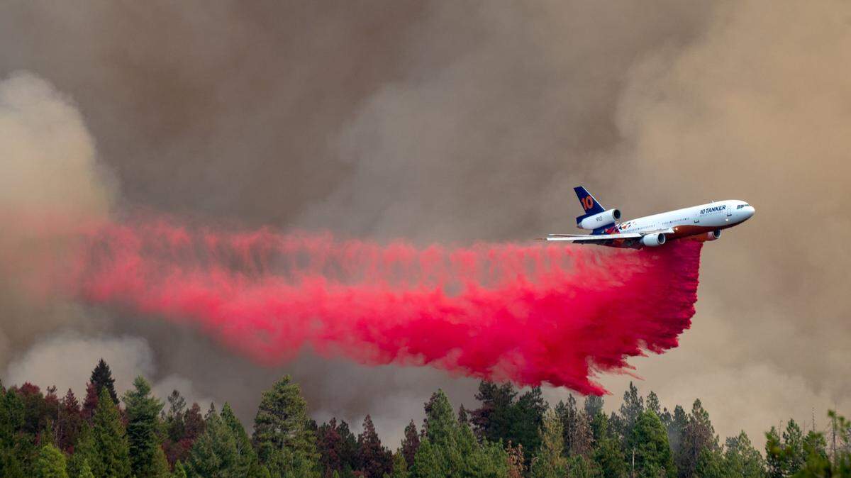
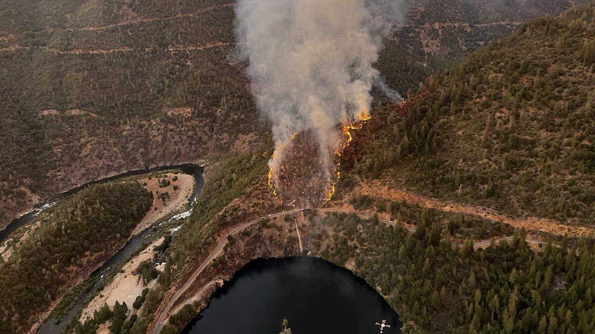
Mosquito Fire
Click the arrow below for more coverage of the Mosquito Fire burning in Northern California.
Expand All
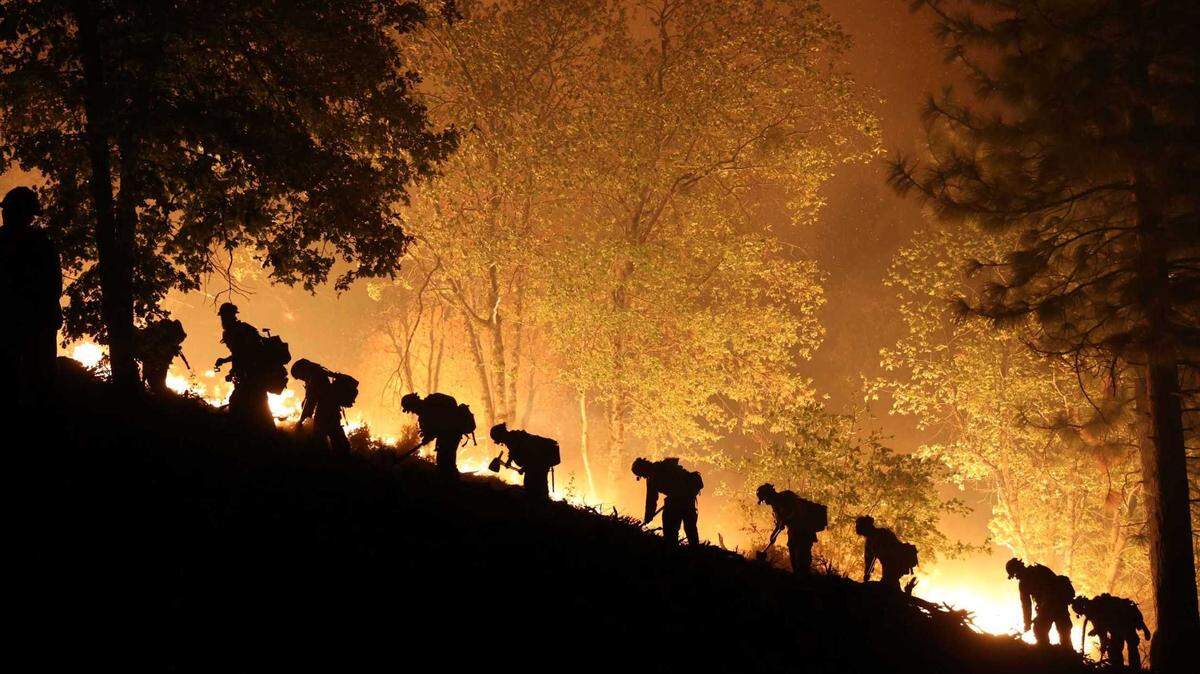
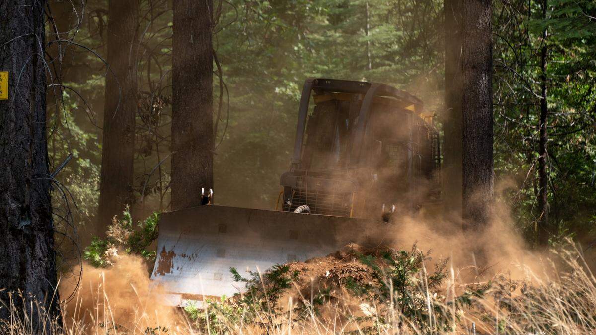
The Mosquito Fire is burning in the Tahoe National Forest near mountain homes and the community of Foresthill.
The fire started at around 6 p.m. Tuesday north of Oxbow Reservoir between El Dorado and Placer counties, according to Cal Fire. The cause is under investigation.
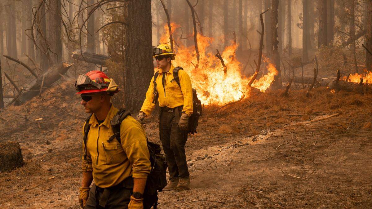
The fire jumped the Middle Fork of the American River into El Dorado County Thursday.
The Forest Service announced a large portion of Tahoe National Forest, including the French Meadows Reservoir and the popular Western States Trail, will be closed to the public through at least the end of the year.
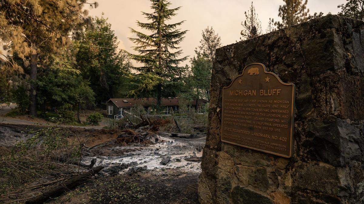
Where is Foresthill, California?
Foresthill is an old gold mining area with a population of about 1,500, according to its business chamber website. In unincorporated Placer County, it’s a short drive off of Interstate 80 in Auburn — about 65 miles from downtown Sacramento.
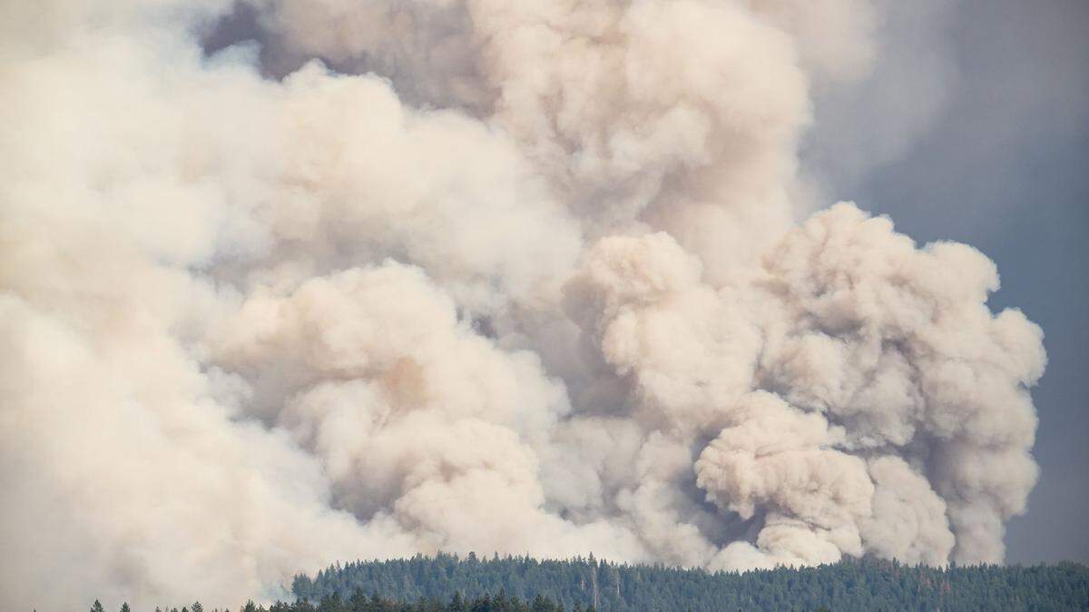
Evacuations
Evacuations have been ordered for zones in both Placer and El Dorado counties. For updated evacuation information, visit Cal Fire’s website.
This story was originally published September 7, 2022 at 10:51 AM with the headline "Here’s where the Mosquito Fire is burning in Northern California national forest."