Mosquito Fire containment begins as crews dig deep to battle growing California blaze
READ MORE
Mosquito Fire
Click the arrow below for more coverage of the Mosquito Fire burning in Northern California.
Expand All
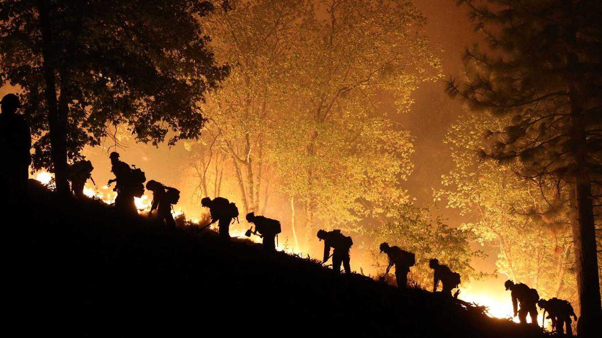
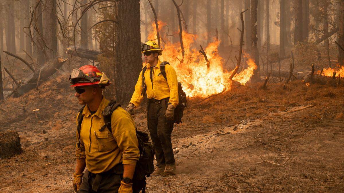
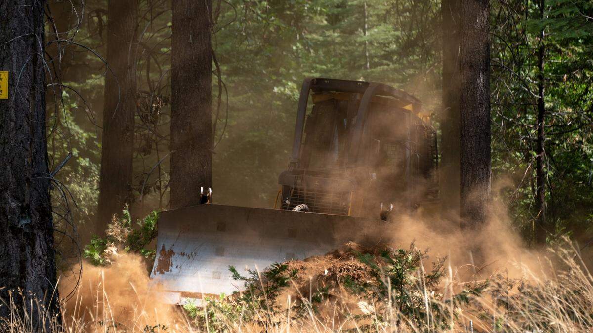
Working through the night under improving weather conditions with crews on the ground digging hand lines and using control lines from past wildfires, firefighters have helped to moderate parts of the Mosquito Fire and tack on containment in some areas for the first time, officials said Sunday.
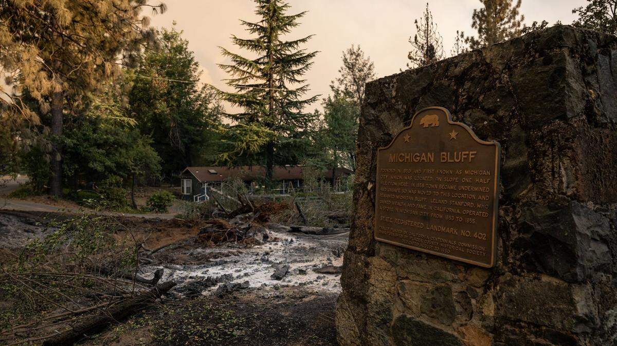
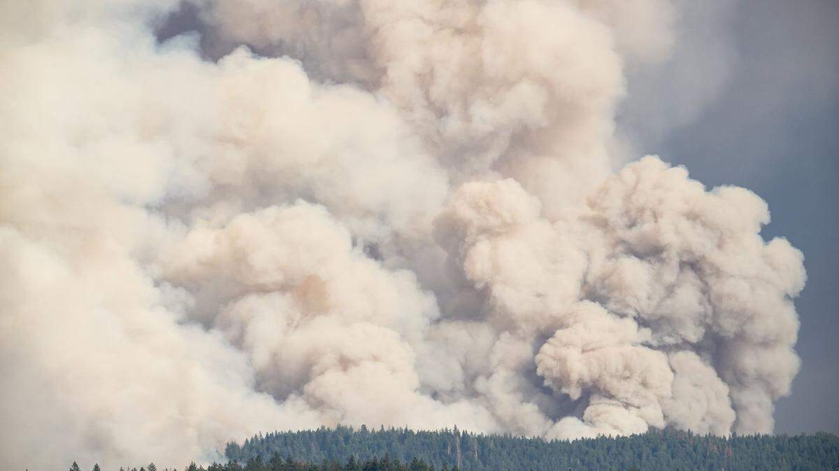
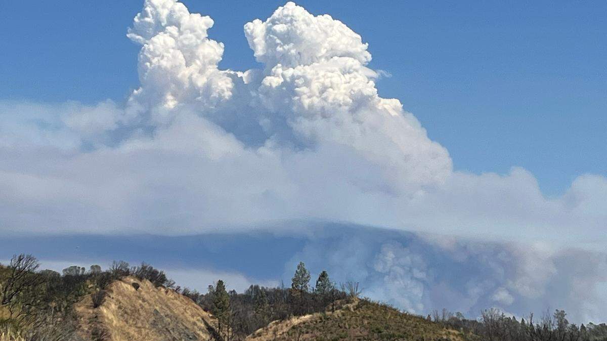
The fire, which started near Oxbow Reservoir in the Tahoe National Forest on Tuesday, is now 10% contained, according to Cal Fire and U.S. Forest Service officials. The fire has chewed through 41,443 acres (64.8 square miles) in El Dorado and Placer counties, and continues to threaten more than 5,000 homes and other structures.
More than 11,000 residents remain evacuated, officials said, as the fire grew by about 7,700 acres in a day.
“Cooler temperatures and higher humidity assisted with moderating some fire activity on the Mosquito Fire,” officials said in a Saturday night update. “However, an increase in winds has continued the fire’s spread to the north and northeast. Firefighters have been working diligently to build control lines along the area of Foresthill Road and out in front of the head of the fire toward the north and northeast.”
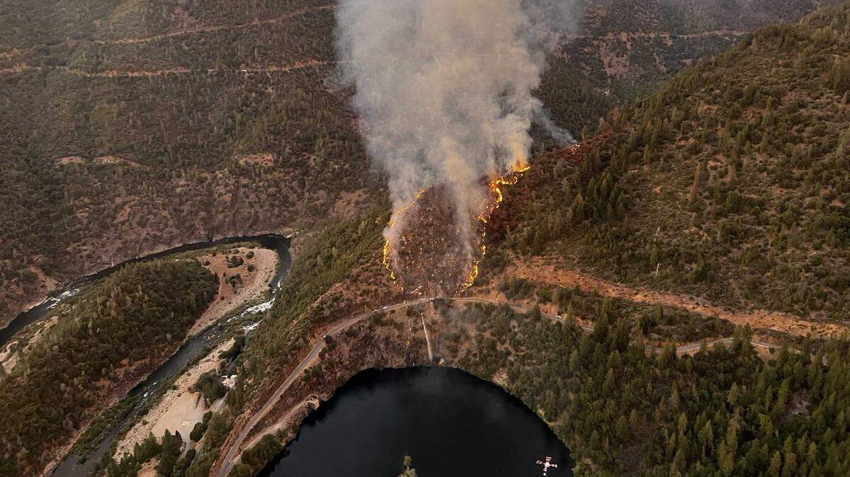
Firefighters said that personnel working from the ground on the western flank were able to reach the American River to build containment lines, while other crews and aircraft were holding the southern line along Volcano Road and north of Quinette. In spite of that, authorities issued new evacuation warnings for homes in areas on the fire’s eastern edges — East Stumpy Meadows, as well areas around French Meadows Reservoir, Hell Hole Reservoir and the Rubicon River.
Fire officials said in an operational briefing Sunday morning they are concerned the fire could continue moving east and northeast into areas that haven’t seen fire activity in decades.
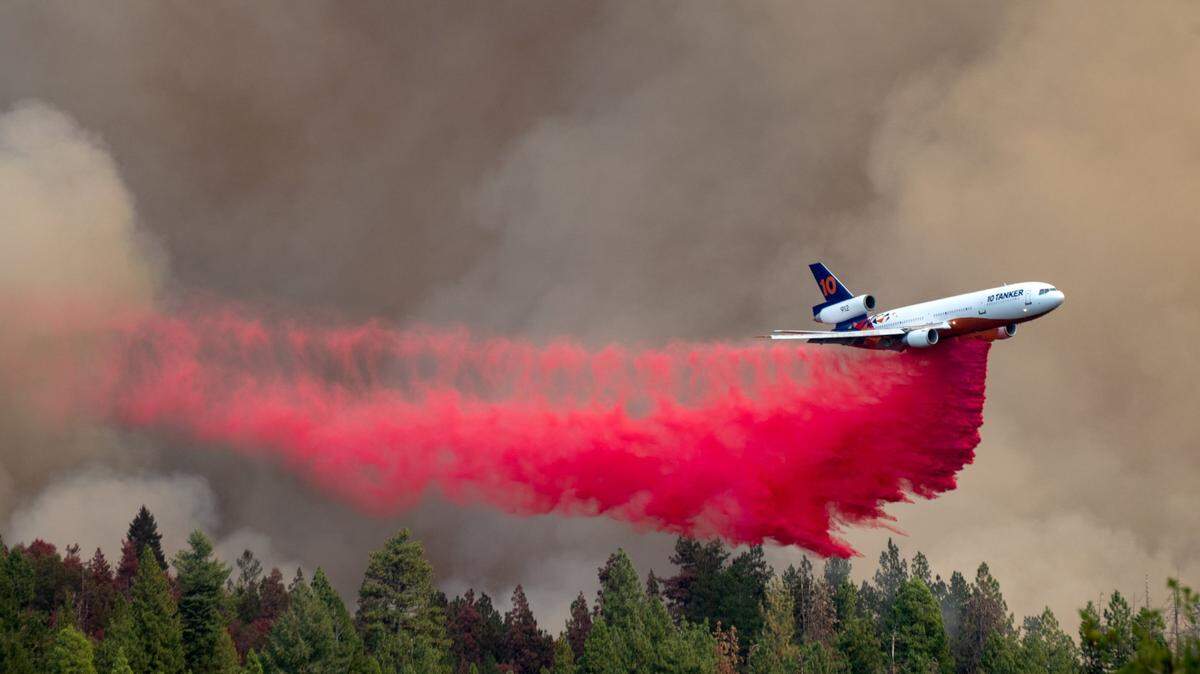
“More resources from throughout California continue to arrive to assist in the suppression efforts. Both fixed-wing and rotor-wing aircraft continue to assist ground crews as flying conditions allow,” officials said in a news release.
Weather is expected to continue to improve after a record week of heat. Authorities said smoke and clouds, as well as higher humidity and calm winds, were expected to slow the fire’s growth Sunday.
Updates on other wildfires
▪ The Mill Fire, burning near Weed in Siskiyou County since Sept. 2, has burned 3,935 acres (6.1 square miles) and is 90% contained as of Sunday morning. Fire growth has been minimal for days, and crews continue to mop up as they near full containment.
▪ The Mountain Fire, burning east of Gazelle in Siskiyou County, has charred 12,635 acres (19.7 square miles) since starting Sept. 2 several miles west of the Mill Fire. It was 60% contained, firefighters said in a Sunday update.
▪ The Fairview Fire, which has torched 28,307 acres (44.2 square miles) in six days in Riverside County, is 45% contained. The remnants of Hurricane Kay helped firefighters some, but “smoldering and creeping” of flames continued. That fire has killed two people, injured one and destroyed 30 structures.
This story was originally published September 11, 2022 at 9:11 AM with the headline "Mosquito Fire containment begins as crews dig deep to battle growing California blaze."