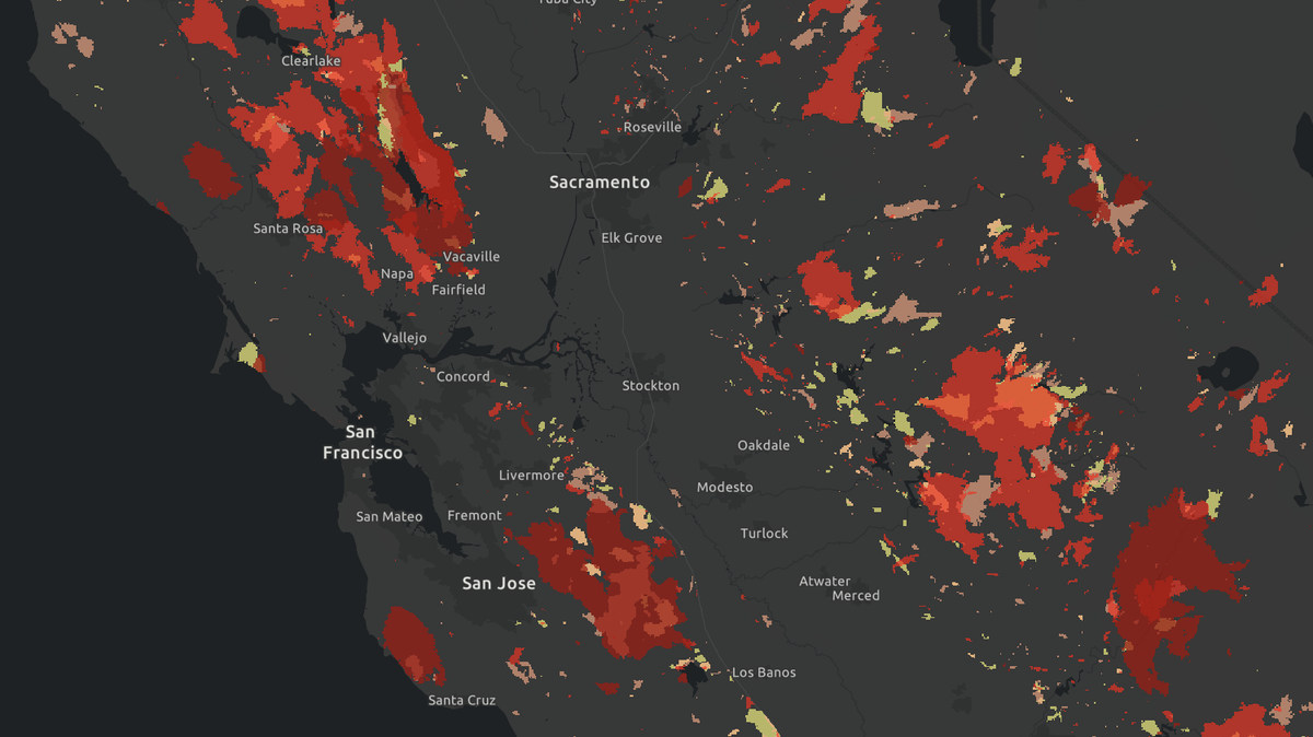
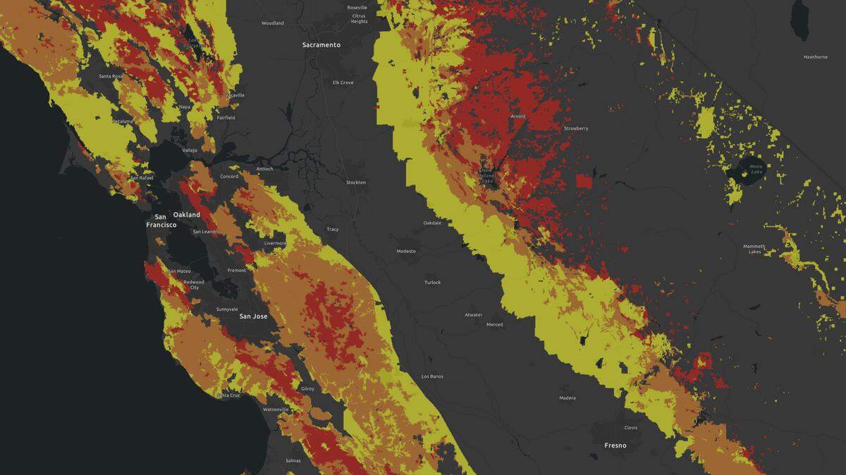
Is your California home in a hazardous wildfire zone? Check this map
READ MORE
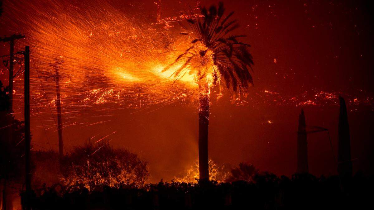
California Wildfires: More Coverage
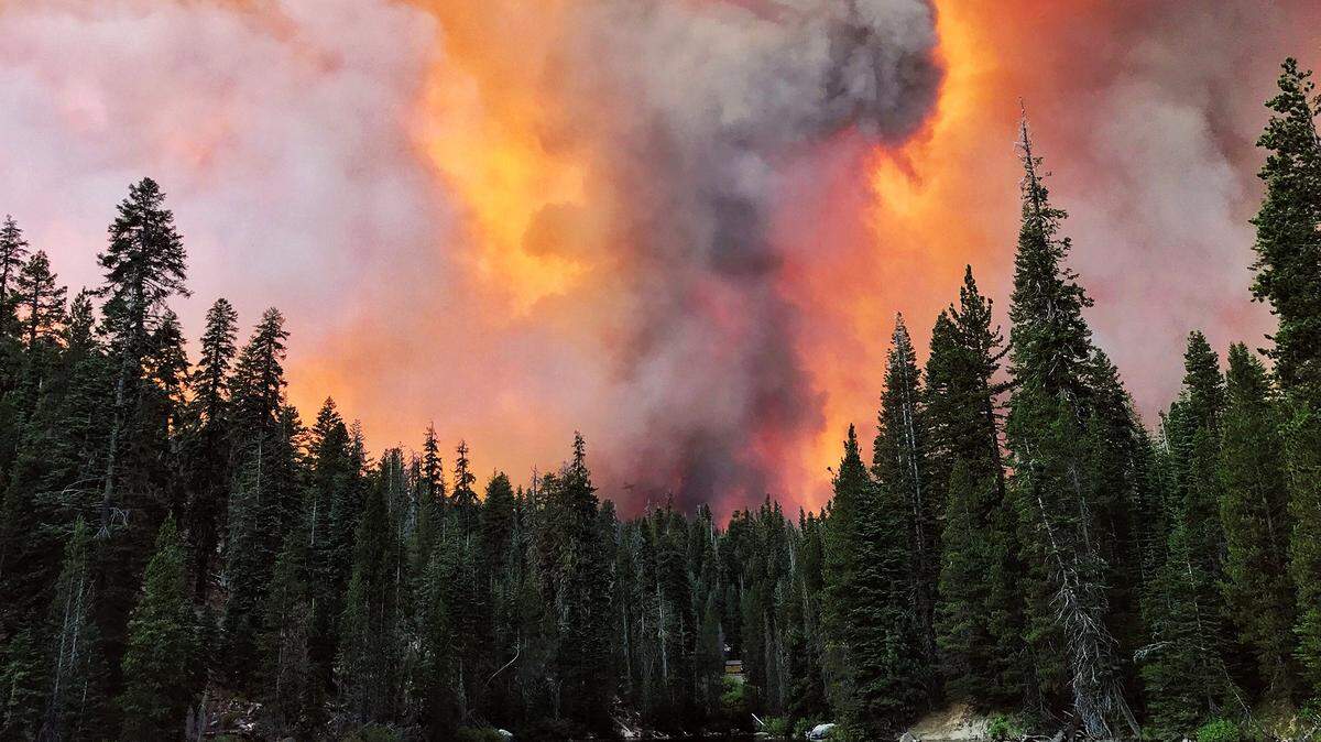
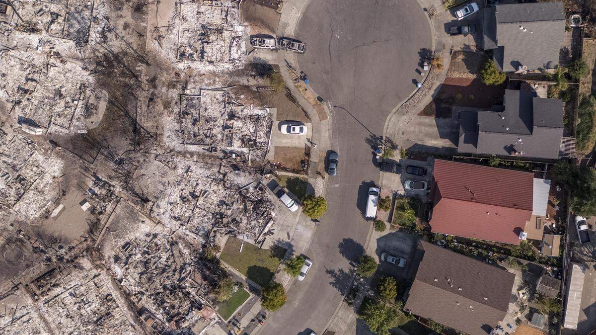
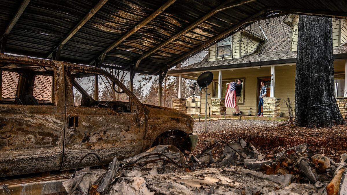
Over 2.7 million Californians live in very high wildfire hazard zones. Here’s what you need to know to prepare for wildfires, and why California still builds houses in these danger zones.
Expand All
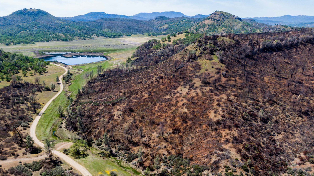
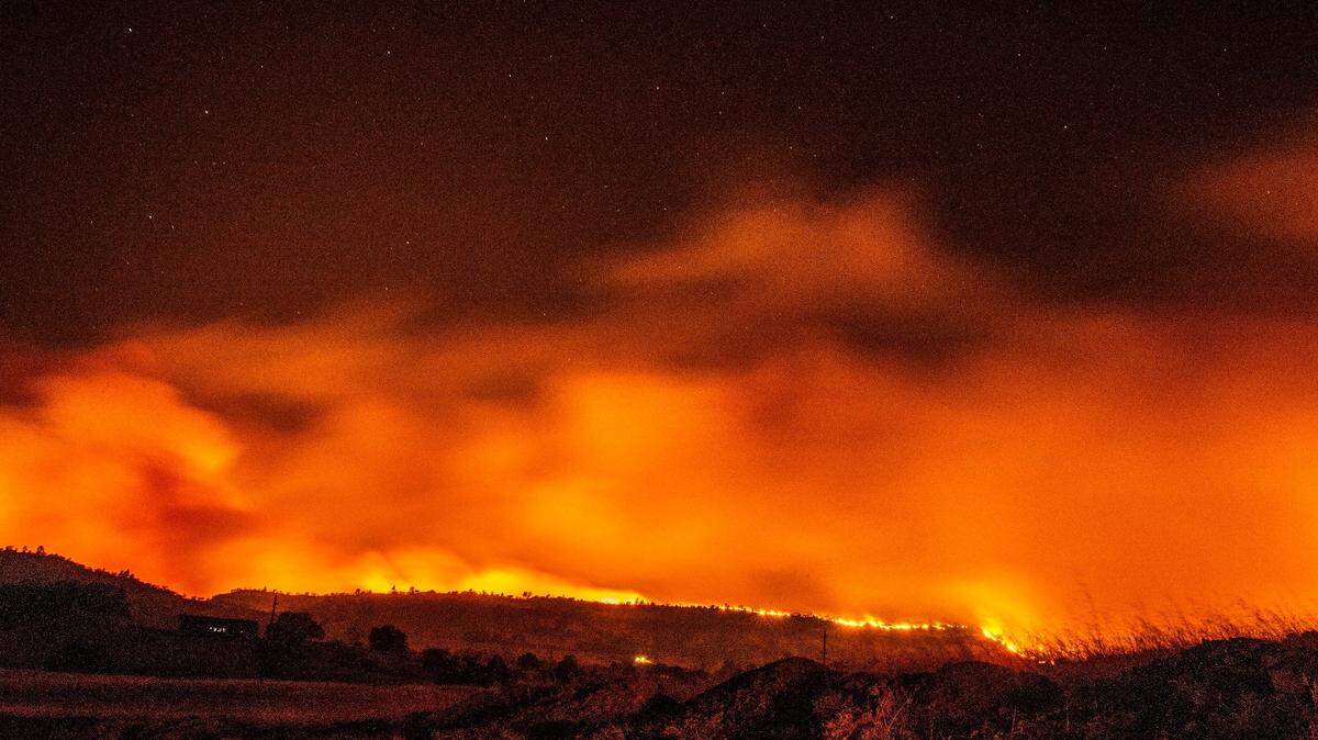
More than 2.7 million Californians live in very high fire hazard zones, according to a McClatchy analysis of statewide maps created by Cal Fire scientists to determine wildfire risks based on terrain, vegetation and weather.
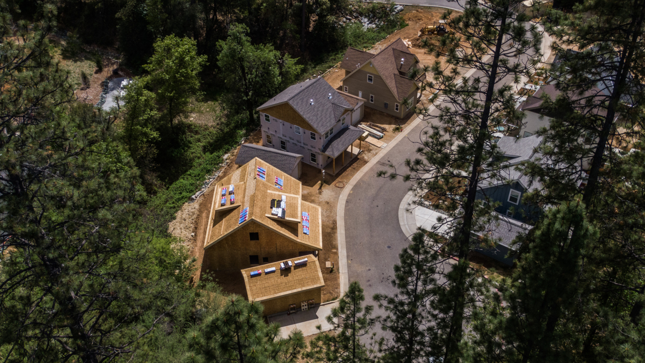
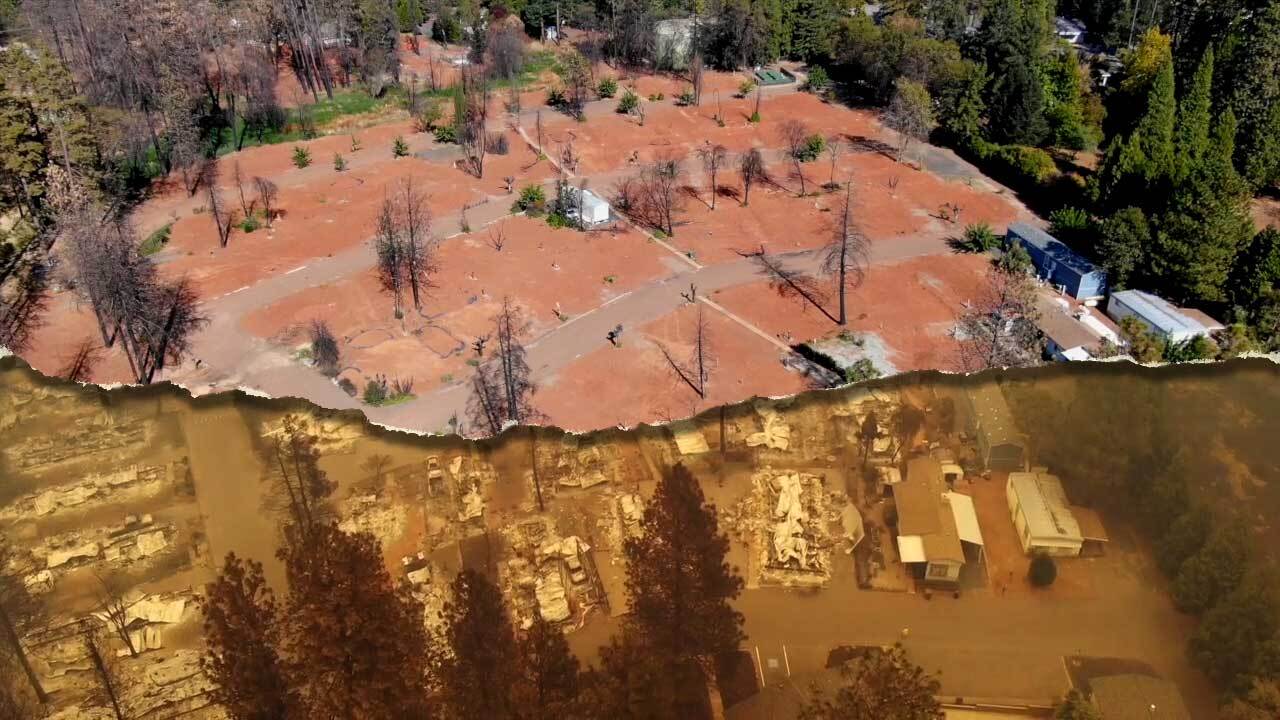
These maps, created in 2007 and currently being revised to reflect new weather models and other improvements, have successfully predicted most major incidents in recent years. About 4 million acres burned in 2020, a record, but California is still building housing in high-risk areas.
This story was originally published June 20, 2021 at 5:00 AM with the headline "Is your California home in a hazardous wildfire zone? Check this map."