Proposed map for Stanislaus County’s supervisor districts looks familiar. Here’s why
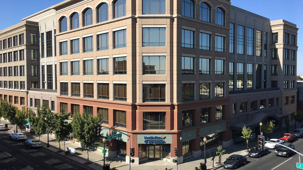
Stanislaus County supervisors got a first look Monday at a proposed map for redrawing supervisorial district boundaries.
The redistricting map proposes only small changes to the five districts. The boundaries could be adjusted if an advisory committee chooses to get more input from the community and as additional public hearings are held in November and December.
The Board of Supervisors created an 11-member advisory commission in April for the process conducted every 10 years after the national Census.
The commission’s work was slowed down by federal government delays in reporting census data in the middle of the COVID-19 pandemic. Commission members told supervisors Monday they were disappointed by sparse or no turnout at most of the redistricting workshops held in Modesto, Oakdale, Empire, Patterson, Turlock and Salida.
The county is now up against a Dec. 15 legal deadline for approving the new district map, which must be adopted about six months before the June 7, 2022, primary election.
A county project team and the advisory commission may still try to get more community input and hold a map-drawing session before the boundaries are set.
Supervisor Mani Grewal said he liked the idea of holding more map-drawing sessions with the public to make sure the process is transparent.
Supervisors conducted a first public hearing on the redistricting plan Monday; additional hearings are set for Nov. 23, Dec. 6 and Dec. 13, all at 9 a.m. in the Board of Supervisors chambers at Tenth Street Place in Modesto.
The redistricting map must comply with requirements of the California and U.S. constitutions, the Voting Rights Act and Elections Code.
Plan aims for about 111,000 people in each district
The county needs to include about 110,946 residents in each of the five districts for electing supervisors. To meet the criteria, the map is supposed to respect geographic boundaries and not weaken the voting rights of minority populations, county staff said.
In a county with 554,730 residents, Latinos represent 48 percent of the population and 38 percent are white, while Asians make up 6 percent, Blacks 3 percent, Pacific Islanders 1 percent and other groups 4 percent.
John Mataka, an advisory commission member, told supervisors there was a desire to adjust the boundaries for a “community of interest.” He did not identify the community.
Under a state criteria, a community of interest is a population with common social and economic interests. The criteria calls for putting a community of interest within a single supervisorial district for fair representation.
The redistricting map presented Monday serves to even out the population numbers in each supervisorial district.
The 2020 census counted 111,386 people in Supervisor Buck Condit’s District 1, which includes Oakdale, Riverbank and part of east Modesto. Board Chairman Vito Chiesa has 108,668 in district 2 (Turlock and Hughson); Supervisor Terry Withrow’s District 3 has 109,511 residents in west Modesto and Salida; Supervisor Mani Grewal has 110,068 in district 4; and Supervisor Channce Condit has 115,147 in district 5 including Ceres and Patterson.
District 5 had more than 10 percent growth since 2010, the most of any district.
Not many changes in the first draft
The commission that redrew the map focused on four census tracts that span more than one supervisorial district.
A census block labeled “A” on the northern edge of Stanislaus County would be wrapped into Withrow’s district — with half of it removed from Grewal’s district 4. The area is between Ladd Road and the Stanislaus River, where American Avenue connects with Ladd, and is bordered on the east by Carver Road.
Another change would place census blocks labeled “B” and “C”, near Dry Creek in east Modesto, within the district 1 and district 4 boundaries, respectively. District 1 would take a narrow piece of territory between Oakdale Road and Roselle Avenue snaking along Scenic Drive on the north side of Dry Creek.
On the south side of Dry Creek, District 4 would take in the eastern half of Creekside Golf Course east of Lincoln Avenue and part of the residential neighborhood east of McClure Road, north of Dry Creek Drive. The census block extends east to Claus Road; homeowners north of Wichita Way would be represented by Grewal and those south of Wichita would stay with Buck Condit.
For 10 years, District 4 has included a sliver of territory just south of the Tuolumne River in Ceres, west of Mitchell Road, which was opposed by some elected officials in Ceres. With the proposed map, District 5 would reduce its population by giving a larger piece of that area to District 4, extending east of Central Avenue to Richland Avenue on the north side of River Road.
The county has budgeted $100,000 to cover expenses of the redistricting plan. The Q2 Data and Research firm is assisting the county. Stanislaus County has a website with information on the redistricting process at www.stancounty.com/redistricting.
This story was originally published November 9, 2021 at 8:17 AM.