Map shows epicenter of Northern California earthquake. Did it strike Sacramento County?
READ MORE
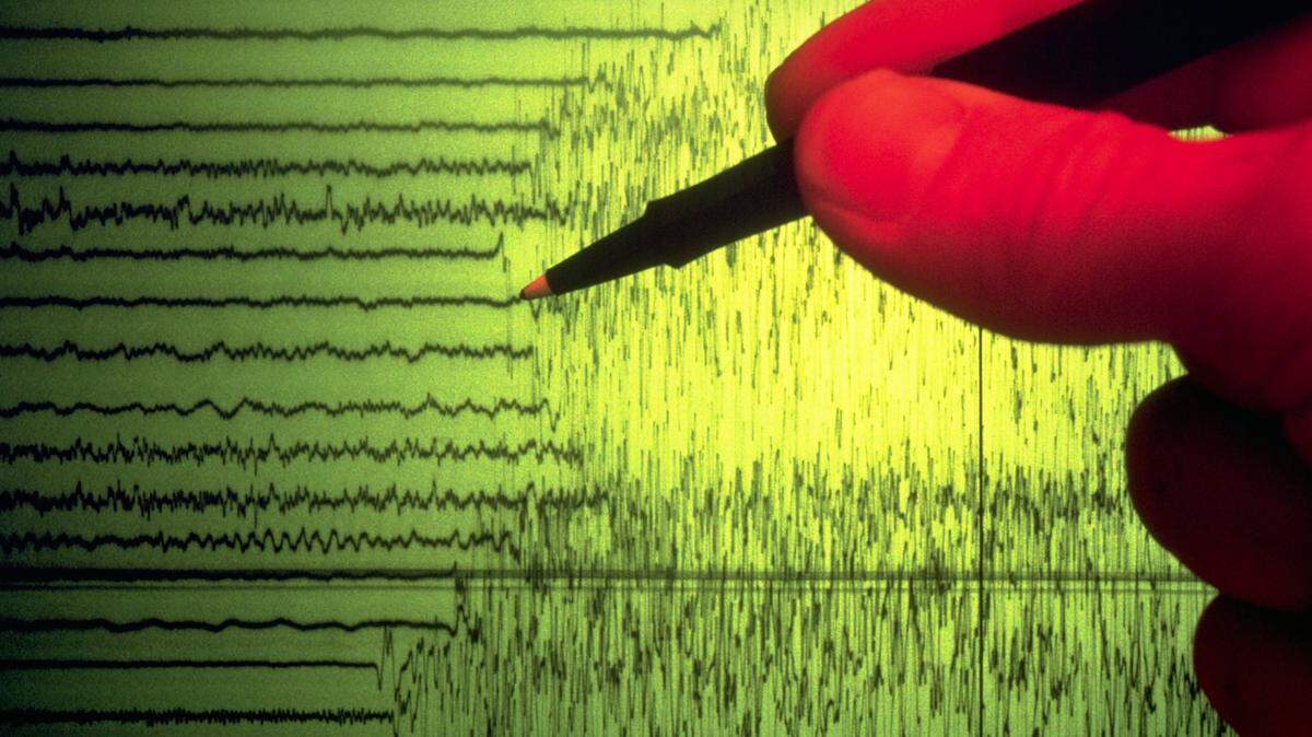
Sacramento County earthquake
A 4.2-magnitude earthquake was measured roughly 2.5 miles south-southwest of Isleton on Wednesday morning. Read our full coverage:
Expand All
Sacramento County residents’ phones screamed a warning message Wednesday morning: “Drop, Cover, Hold on. Protect yourself.”
The U.S. Geological Survey warned the region of an earthquake about to strike. Here’s where it hit and how strong it was, according to initial reports from the USGS:

Where was the earthquake in Northern California Wednesday?
The 4.2-magnitude temblor struck 2.5 miles south-southwest of Isleton, a Sacramento County city on the river, on Wednesday morning, according to the U.S. Geological Survey. The epicenter was located near Jackson Slough Road on Brannan Island, roughly 31 miles south of Sacramento.
This story was originally published October 18, 2023 at 10:15 AM with the headline "Map shows epicenter of Northern California earthquake. Did it strike Sacramento County?."