Thunderstorms headed to Modesto area as cyclone nears. See when rain could start
Thunderstorms and heavy rain could hit California — including the Modesto area — as moisture from Tropical Cyclone Priscilla pushes north.
Although the cyclone is weakening west of the Baja Peninsula, its influence will be felt across the Golden State, resulting in widespread showers and thunderstorms, according to the National Weather Service.
“The system will produce rain with embedded thunderstorms over the Northwest and Northern California on Friday,” the weather agency said in a news release on Friday, Oct. 10.
Widespread rain is forecast from Monday, Oct. 13, through Wednesday, Oct. 15, but the exact timing and rainfall totals are still uncertain, the National Weather Service said in a post on X.
Here’s what to know about the weather forecast in Stanislaus County:

What are the chances of thunderstorms in the Modesto area?
Moisture from Tropical Cyclone Priscilla is expected to bring heavy rain, lightning and thunder to parts of Northern California, according to the National Weather Service.
There is a 15% to 20% chance of isolated thunderstorms Monday evening, the weather agency said in a post on X on Friday, Oct. 10.
The Modesto area could see up to an inch of rain, with a 20% chance of that amount falling during Monday’s storms, the National Weather Service said.

Am I at risk for flash floods?
According to the National Weather Service, flash floods can happen for several reasons, but they’re most often triggered by heavy rain from thunderstorms.
The agency said that flash floods can occur “so quickly that people are caught off-guard.”
How fast flooding happens depends on several factors, including where the rain falls, how intense it is, the shape of the land, soil type and how wet the ground already is.
The latest data from the National Oceanic and Atmospheric Administration’s Weather Prediction Center shows no flash flood risks for Stanislaus County, as of Friday, Oct. 10.
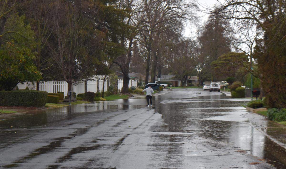
What’s in the weather forecast for Stanislaus County?
Along with a chance of thunderstorms, Stanislaus County is expected to see a “significant cooling trend” as the region shifts into a “pattern of unsettled weather,” the National Weather Service said on X.
According to the latest forecast from the National Weather Service, Friday will bring clear, sunny skies with a high temperature near 75 degrees and a low temperature around 54 degrees.
Winds will sweep across Stanislaus County at around 7 mph.
Temperatures on Saturday will range from a high near 71 to a low around 51, with gusts reaching up to 20 mph.
Clear, sunny skies are forecast for Sunday, with a high near 74 and a low of about 49 degrees.
Rain is forecast to begin after 11 a.m. Monday, Oct. 13, and continue through Thursday, Oct. 16, according to the weather service’s seven-day outlook.

What should I do if I’m caught in a thunderstorm?
When you are caught in a thunderstorm and can’t reach a safe location nearby, follow these tips from the National Weather Service:
- Avoid beach picnic shelters Avoid the tops of hills and open fields
- Avoid water
- Avoid trees and other tall objects
“Remember: if you see a flash, dash inside,” the weather agency said on X.