Rain is on the way after two days of record high temperatures in the Modesto area
After two days of record high temperatures in the San Joaquin Valley, it will start to feel more like fall again Sunday with a storm rolling in.
On Thursday, the high of 74 tied Modesto's all-time mark for Nov. 23. On Friday, the high of 76 broke the mark of 74 for Nov. 24 set in 1939, according to the Modesto Irrigation District.
Saturday was shaping up to be cooler as fog and clouds arrived in the morning.
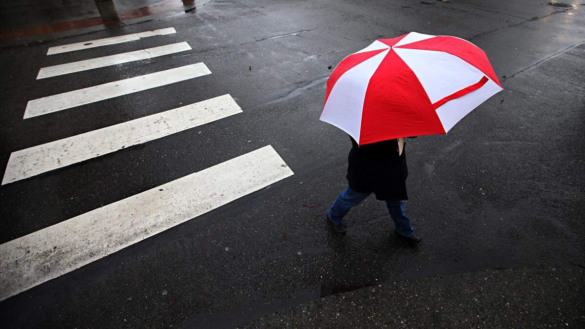
Rain is expected to begin Sunday morning in some parts of the Valley, with back-to-back storms continuing through Monday.
Snow levels should start high at 7,000 feet but drop to around 4,000 or 5,000 feet by Sunday evening.
The National Weather Service is predicting about a quarter- to a half-inch of rain for the Modesto area and about eight to 12 inches of snow in the foothills.
This story was originally published November 25, 2017 at 8:46 AM with the headline "Rain is on the way after two days of record high temperatures in the Modesto area."